English
Beta
Hygyrchedd
Hafan
Amdanom
Chwilio
Orielau
Map
Cymorth
Cysylltwch
Cofnod Archif
Canlyniadau
Safle Chwilio Uwch
Nid oes gennych resi chwilio datblygedig. Ychwanegwch un trwy glicio ar y botwm '+ Ychwanegu Rhes'
+ Ychwanegu Rhes
Chwilio
Ail Gychwyn
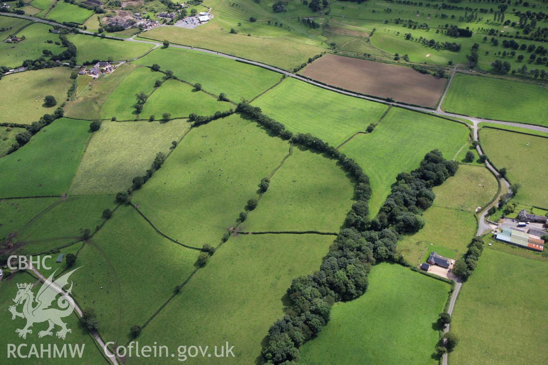
Wat's Dyke: From South-East of Whitehouse Farm to South-West of Garreg Llwyd
AP - RCAHMW Colour Oblique Digital Aerial Photographs
AP_2009_2812 - RCAHMW Colour Oblique Digital Aerial Photographs
Further Information
Manylion
Hierarchaeth
Safleoedd Cysylltiedig
Rhif Archif
6360186
Disgrifiad
RCAHMW colour oblique aerial photograph of a section of Wat's Dyke from southeast of Whitehouse Farm to southwest of Garreg Llwyd. Taken on 30 July 2009 by Toby Driver
Cofnod Casglu
AP - RCAHMW Colour Oblique Digital Aerial Photographs
Cyfrwng
Photo.
Cychwynnwr
Toby G. Driver, RCAHMW
Dyddiad
2009-07-30