Cymraeg
Beta
Accessibility
Home
About
Search
Galleries
Map
Help
Contact
Archive Record
Results
Site Advanced Search
You have no advanced search rows. Add one by clicking the '+ Add Row' button
+ Add Row
Search
Reset
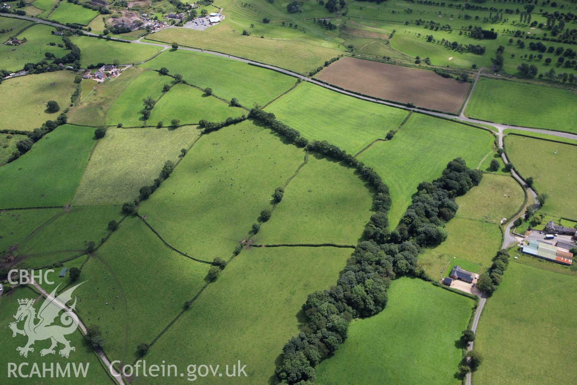
Wat's Dyke: From South-East of Whitehouse Farm to South-West of Garreg Llwyd
AP - RCAHMW Colour Oblique Digital Aerial Photographs
AP_2009_2812 - RCAHMW Colour Oblique Digital Aerial Photographs
Further Information
Details
Hierarchy
Related Sites
Archive Number
6360186
Description
RCAHMW colour oblique aerial photograph of a section of Wat's Dyke from southeast of Whitehouse Farm to southwest of Garreg Llwyd. Taken on 30 July 2009 by Toby Driver
Collection Record
AP - RCAHMW Colour Oblique Digital Aerial Photographs
Medium
Photo.
Originator
Toby G. Driver, RCAHMW
Date
2009-07-30