Description
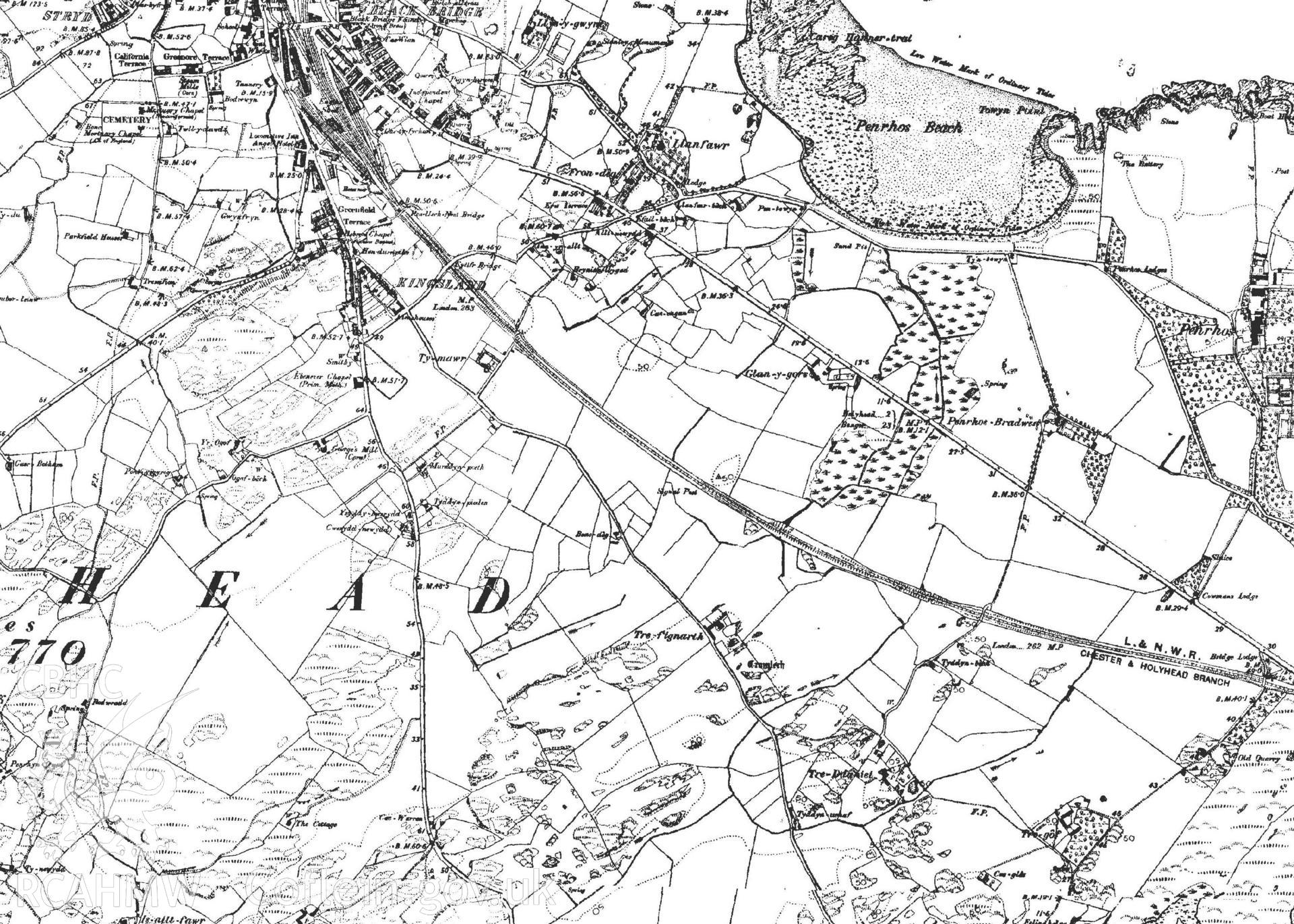
Extract of the Ordnance Survey map of 1890-91. Extract of the Holyhead tithe map. Included in material used as part of Archaeology Wales' heritage impact assessment of Parc Cybi Enterprise Zone, Holyhead, Anglesey, conducted in 2017. Project number: P2522.