Description
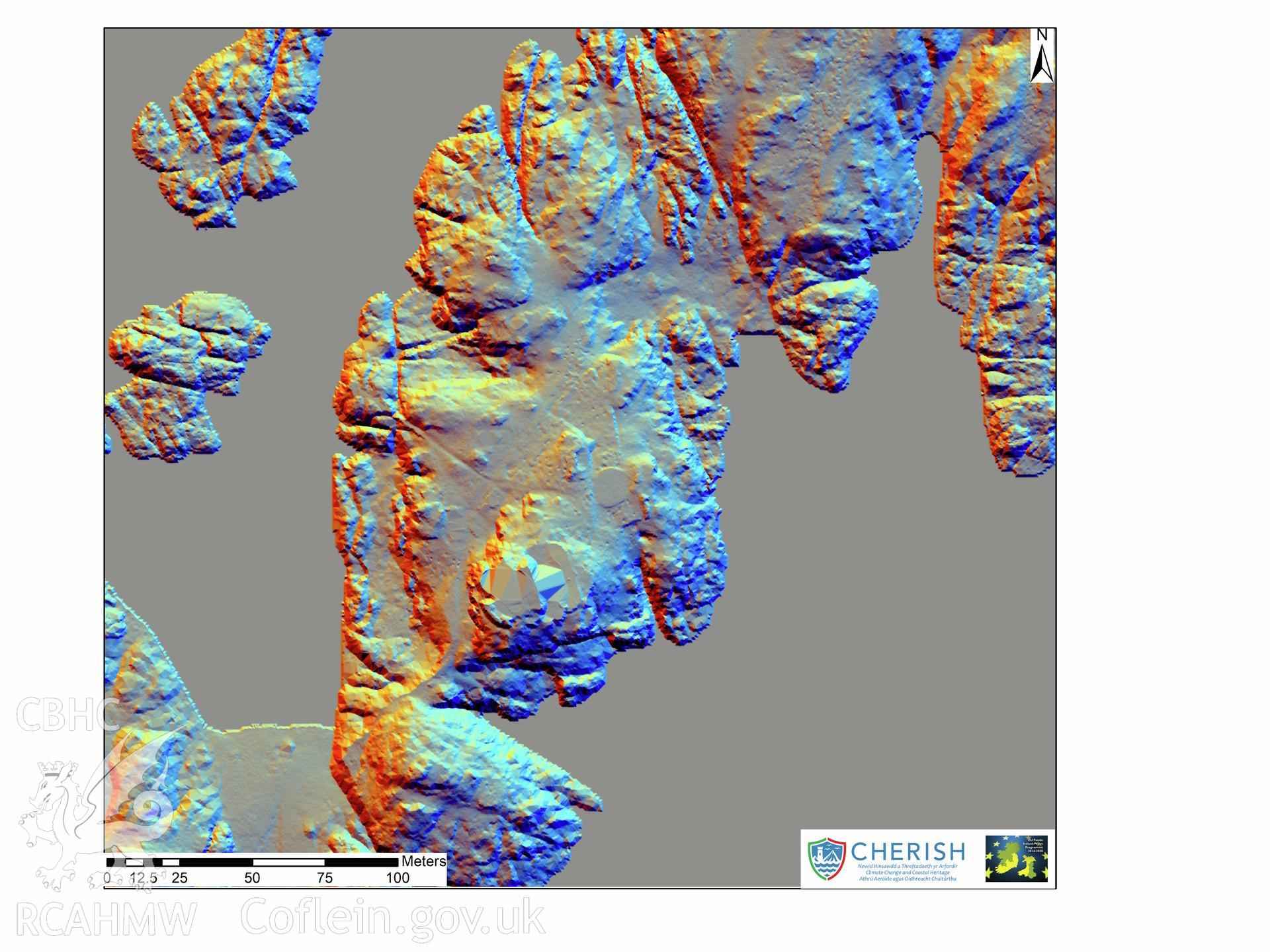
Ynysoedd y Moelrhoniaid (The Skerries Islet). Airborne laser scanning (LiDAR) commissioned by the CHERISH Project 2017-2021, flown by Bluesky International LTD at low tide on the 24th of February 2017. View showing the central area of Skerries Islet with
Collection Record
CHR - CHERISH Project Archive
Originator
RCAHMW, Bluesky International Ltd